WHY SURVEYING IS STRATEGIC
Understanding the physical, geological and geochemical characteristics of seabeds, waters and sediments is essential for environmental risk prevention, rapid response, planning, and the sustainable management of natural resources.
WHAT PROAMBIENTE DOES
PROAMBIENTE develops advanced environmental surveying and monitoring services for marine, lagoon and inland water environments, supporting both public and private sector applications. These solutions integrate in situ instrumentation, autonomous platforms, satellite data and predictive models, transforming complex information into operational tools for environmental management.
SYSTEMS AND TECHNOLOGICAL APPROACH
- continuous, real-time monitoring of the status of marine and lagoon ecosystems (oceanographic buoys and offshore monitoring platforms)
- integrated coastal monitoring systems connected to Decision Support System (DSS) models
- environmental indicators and alert thresholds for the early detection of critical conditions
- integration of satellite data and marine forecasts for different end users (environment, fisheries, tourism)
SURVEYING AND INSPECTION SERVICES VIA AUTONOMOUS SURFACE VEHICLE – OPENSWAP OR VESSEL
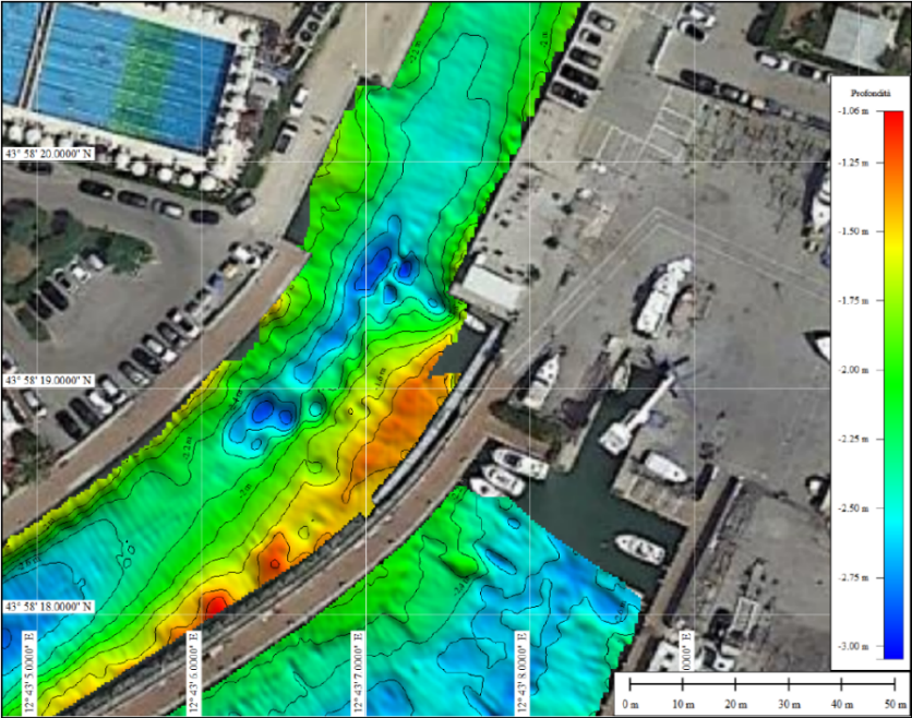
1. Bathymetric surveys
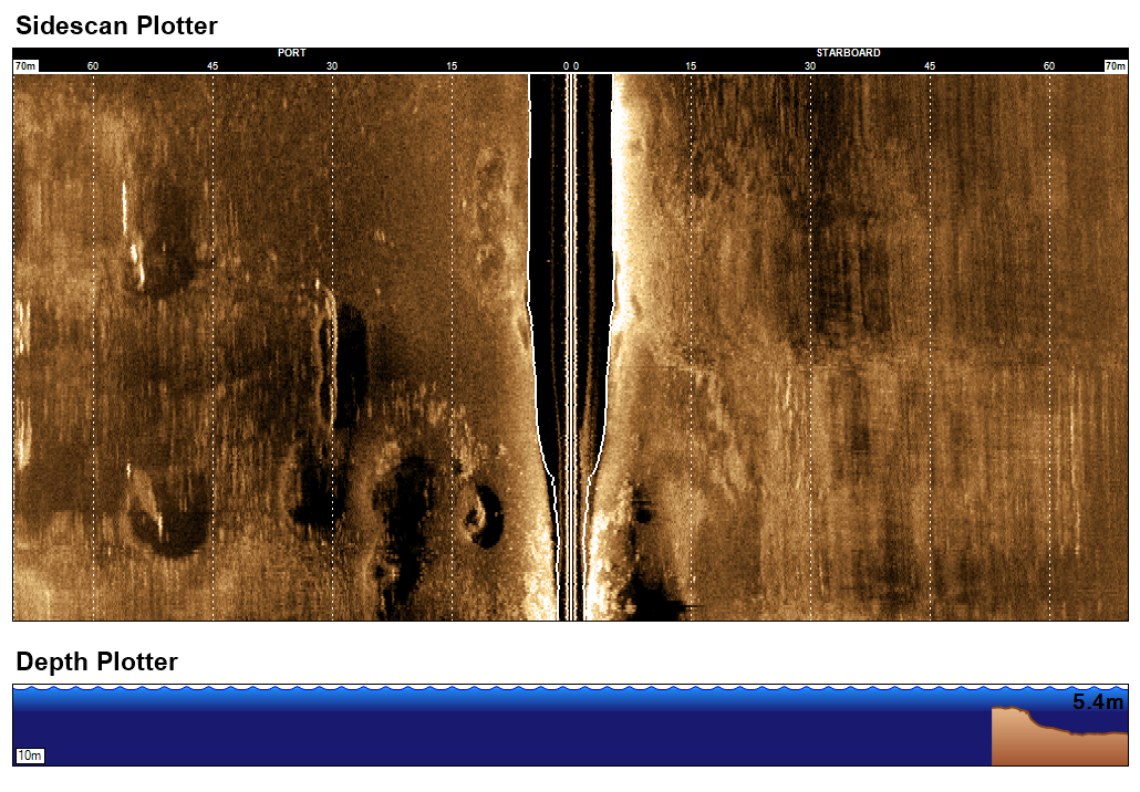
- single-beam, multi-beam and side-scan sonar technologies
- use of commercial or internally developed instrumentation
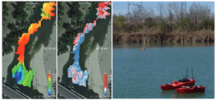
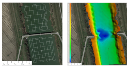
- production of bathymetric maps at different resolutions, 3D reconstructions, seabed reflectivity maps and thematic maps
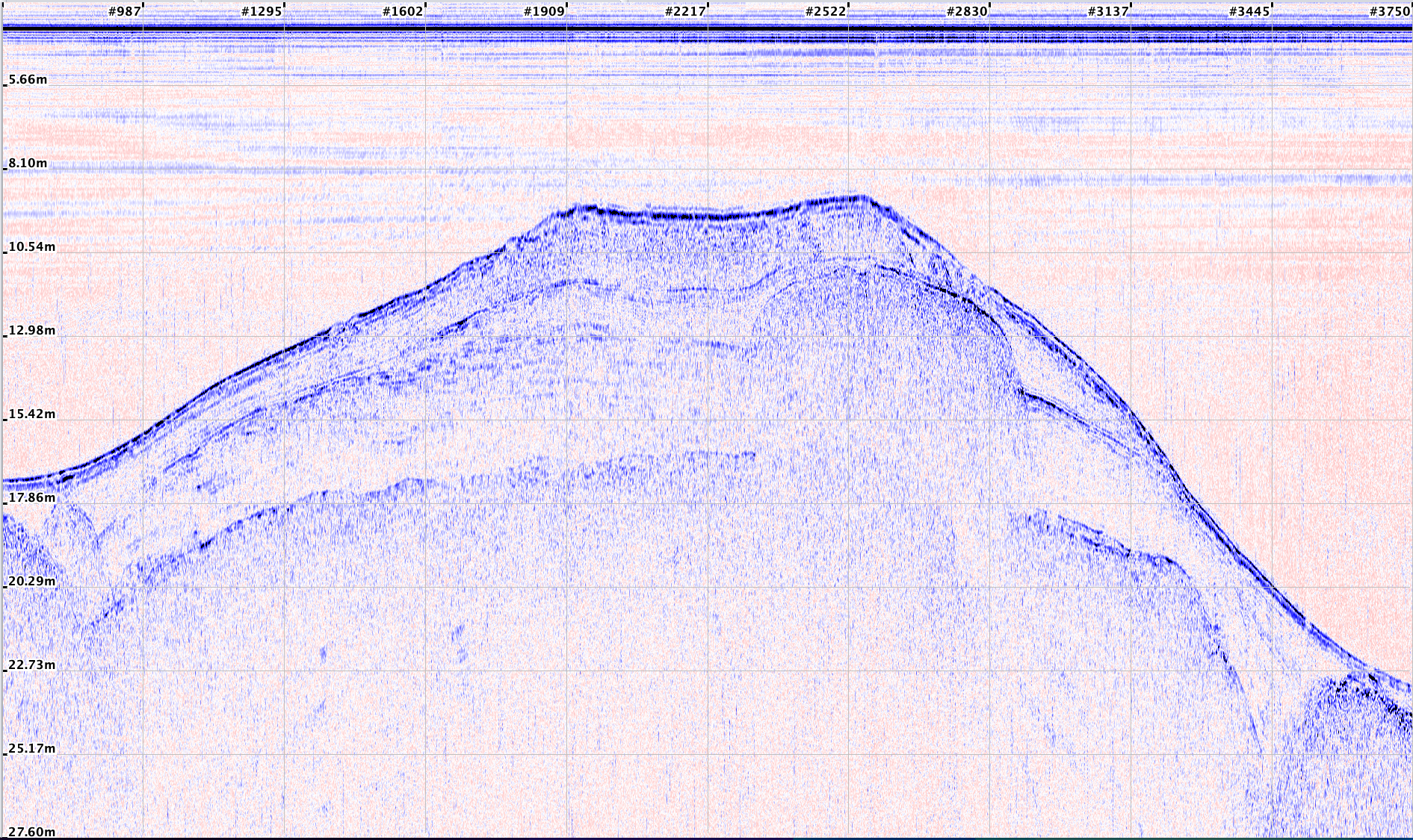
2. Sub-Bottom Profiler surveys
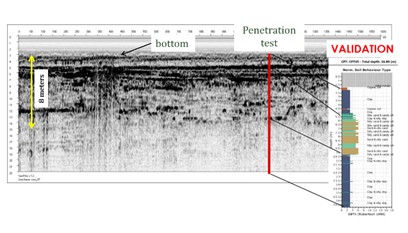
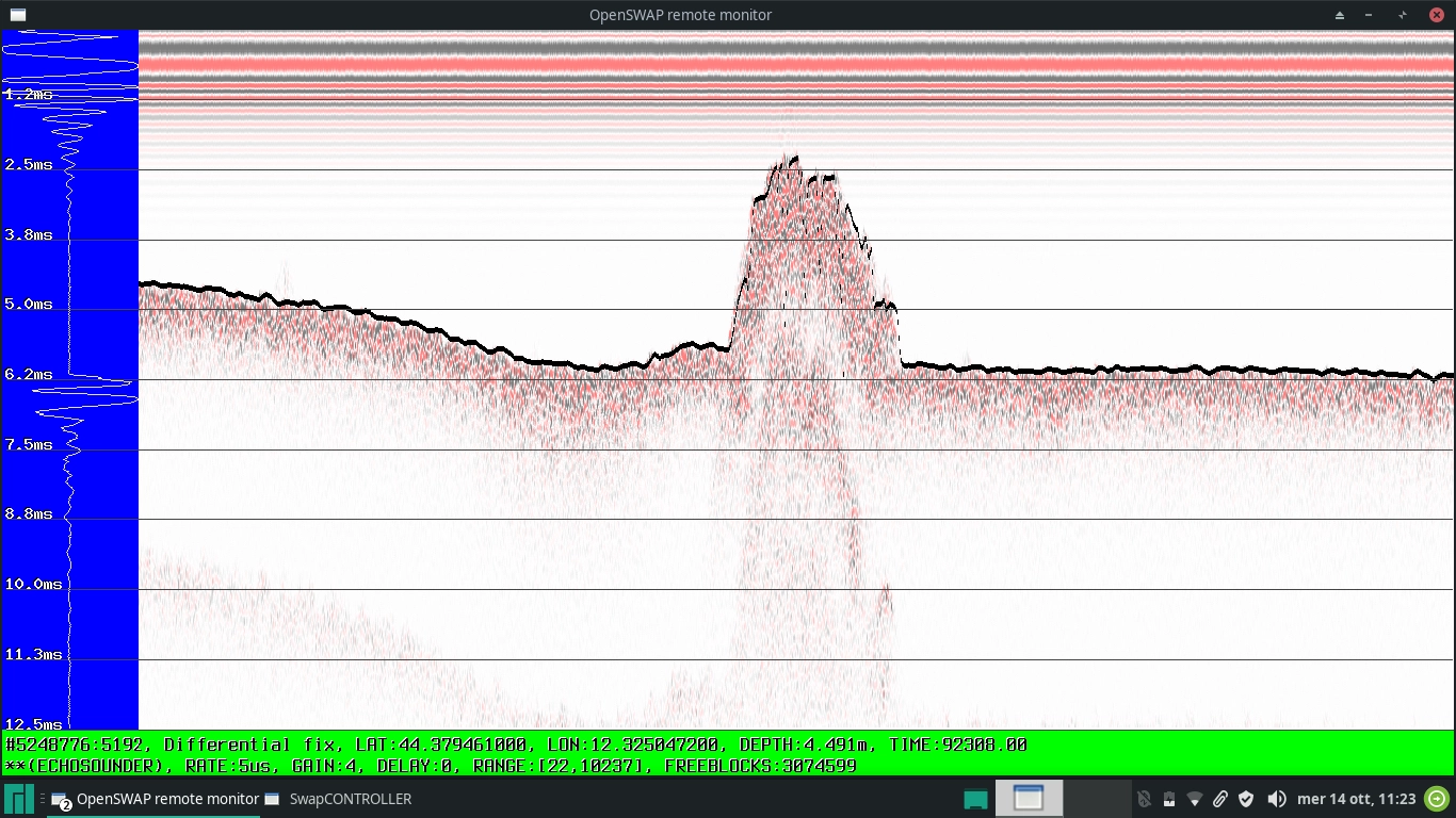
- acquisition of high-resolution seismic profiles for investigating seabed and sub-seabed composition, reflectivity analysis, and buried object detection
- use of commercial or internally developed instrumentation
3. Underwater visual inspections
- inspections performed באמצעות ROV (Remotely Operated Vehicle)
- acquisition of high-resolution images and video footage of seabeds, submerged works, structures, anchoring systems and infrastructure
4. Water sampling
- surface water sampling using automatic samplers (4 × 100 ml samples)
- deep water sampling using a 5-litre Niskin bottle
5. Multiparametric measurements
- surface and subsurface measurements using EXO V2 YSI probe or SBE19 multiparameter probe
- full physico-chemical characterization of water bodies
Are you planning advanced surveying and monitoring activities for water bodies and sediments?
Contact us to design a tailor-made service, integrating autonomous platforms, advanced instrumentation and data analysis