WHY DIGITAL PLATFORMS ARE ESSENTIAL FOR SUSTAINABLE TERRITORY USE
The use and accessibility of territories including for tourism and recreational purposes require tools capable of balancing space usability, environmental protection and quality of user experience.
Digital platforms built on environmental and territorial data make it possible to guide visitor flows, enhance local resources and reduce pressure on ecosystems, supporting a more sustainable and data-driven management of spaces.
WHAT PROAMBIENTE DOES
PROAMBIENTE designs and develops digital platforms for the sustainable use of territories and spaces, integrating environmental, territorial and informational data into accessible tools for citizens, visitors and territorial managers.
These platforms are designed to:
- enhance natural and urban heritage
- support sustainable tourism strategies
- improve visitor flow management and environmental impact mitigation
- promote more conscious and informed use of territories
- integrate and communicate complex data in a clear, accessible and actionable way
HOW THE PLATFORMS WORK
The solutions developed by PROAMBIENTE integrate:
- environmental data (monitoring results, indicators, ecosystem status, weather and climate forecasts)
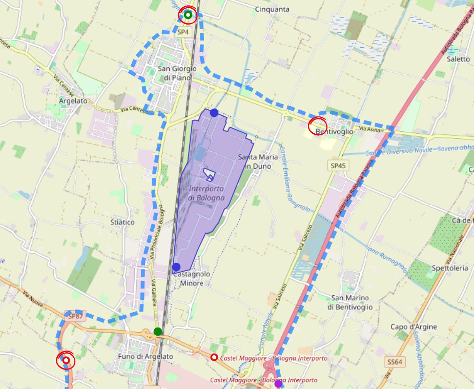
- territorial and geospatial information
- educational and informational content
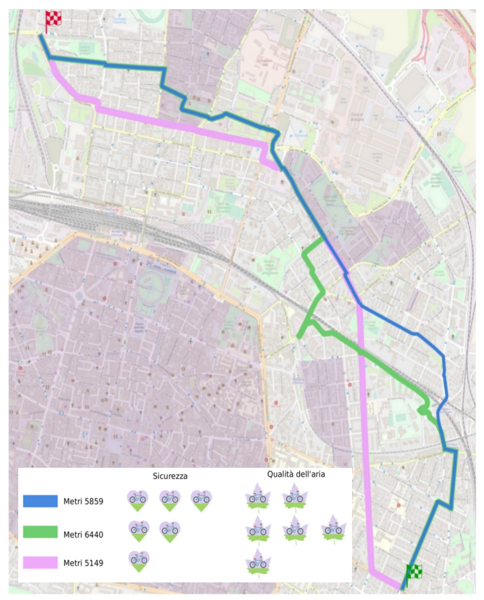
These datasets are organized into digital platforms enabling interactive consultation and data visualization, with language, functionality and user experience tailored to different audiences, including citizens, tourists and visitors, public administrations, territory and infrastructure managers.
APPLICATION CASE – INFOMARE-ER
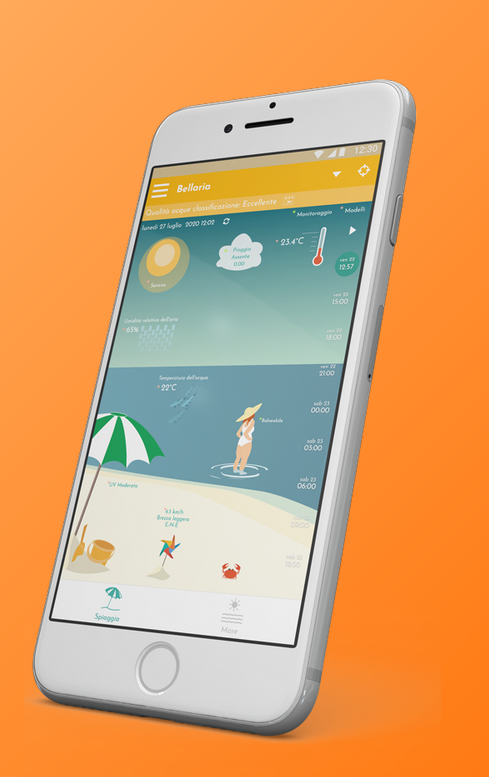
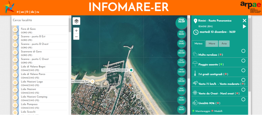
A concrete example of this approach is INFOMARE-ER, the regional information system for the sustainable use and management of Emilia-Romagna’s marine and coastal environment.
INFOMARE-ER integrates:
- marine and coastal environmental monitoring data
- satellite observations, modelling outputs and meteorological forecasts
- environmental indicators and informational content
The platform transforms these datasets into accessible and understandable decision-support information, supporting both responsible public use of the territory, planning and management activities by competent authorities.
APPLICATION AREAS
- sustainable tourism
- natural and coastal areas
- urban complex management
- territorial enhancement and valorisation projects
- support for local authorities and territory managers
Interested in developing a digital platform for more sustainable territory management?
Contact us to design a tailor-made solution based on environmental data integration and scientific expertise